author: Gregor MacLennan
date: 2013-09-25
slug:
title: Monitoring Illegal Foresty and Mining with Support from Google Earth Outreach
wordpress_id:
categories: – blog
published: true
image: "https://images.digital-democracy.org/assets/rupununi-walking-arrows-1600@2x.jpg"
–
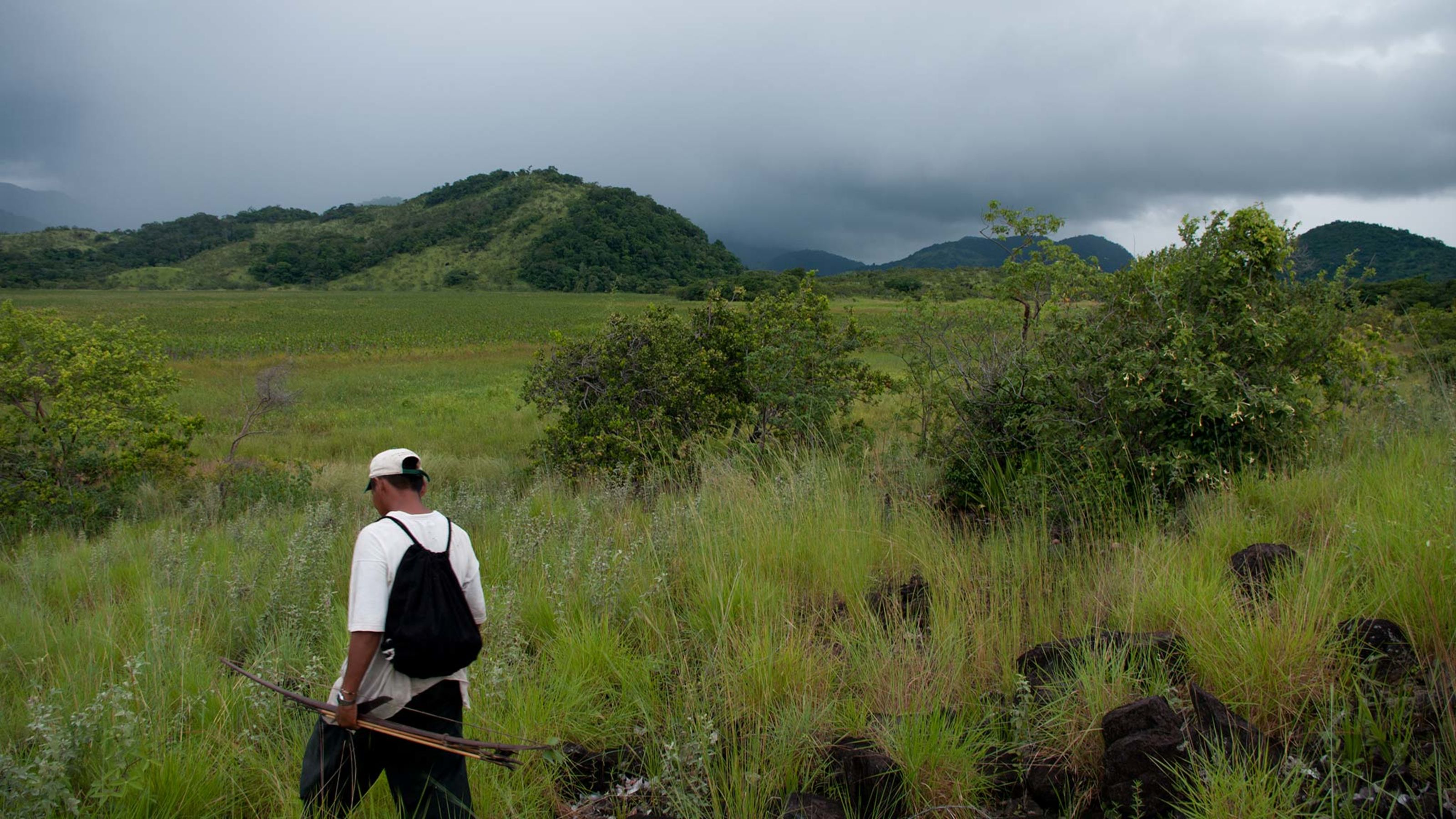
Digital Democracy is a proud recipient of a 2013 Google Earth Outreach Developer Grant. The award is given to non-profits to support their efforts to use maps to promote public benefit causes. Past recipients include the Nature Conservancy, the Jane Goodall Institute and the Clinton Foundation.
We’re using the grant to build Wapichana Deforestation Alert System, an early warning system to help the Wapichana people of Guyana to incorporate satellite and remote sensing data into their efforts to stop illegal logging and mining in their territory. The Wapichana live in 7 million acres of amazon rainforest and natural savannah called the Rupununi in southern Guyana. We are partnering with software developers Whizbang Systems, American Academy for the Advancement of Science’s GeoSpatial Technologies team, Forest Peoples Programme and the South Rupununi District Toshaos Council and South Central Peoples Development Association (SCPDA).
For more information check out the project page.